Client Georgia Department of Transportation
Scope Of Work Survey
Schedule 2015-2016
Project Detail
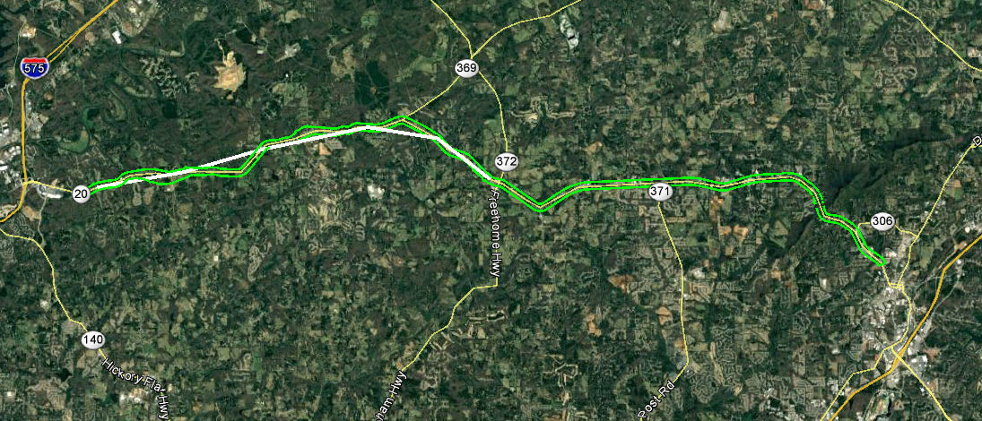
SEI survey department is part of a team of surveyors and engineers developing a plan for road widening and improvements along the SR 20 Highway corridor from Canton to Cumming. SEI was tasked with producing a survey grade map of the existing conditions. The survey base map will be used for planning and design of the highway. A Survey control network was established requiring precise measurements using GPS and Robotic instrumentation. Once control was established along the 20 mile route additional survey work included control points for aerial photo reference marks, property line measurements and topographic survey data collection. Several team members are involved in this project working closely and in coordination over the next year.


